Instrumentation
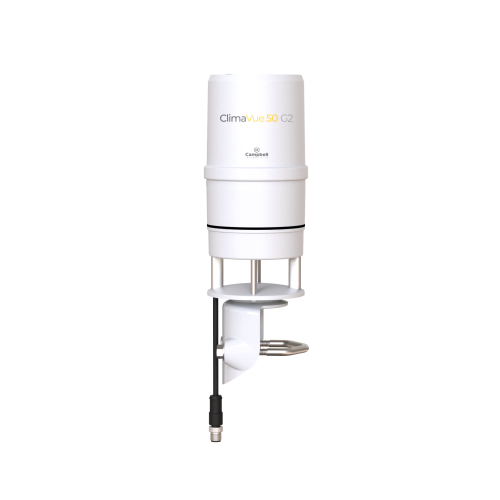
We offer a variety of products that can be used to create systems for Road Weather Information Systems (RWIS). Many of the major components used to create these systems are listed below. Please let us know if we can help you configure a system.
More Details about Our Road Weather Information Systems (RWIS) Systems
Campbell Scientific also brings to the RWIS industry the new concept of Customer-in-Control Technologies™ (CCT), permitting customers to specify “best of breed” hardware and PC software, including products from other CCT vendors. As a result, customers can benefit from customized, economical alternatives to older-generation, “one-size-fits-all” PC-hardware-based product offerings.
Typical Configuration
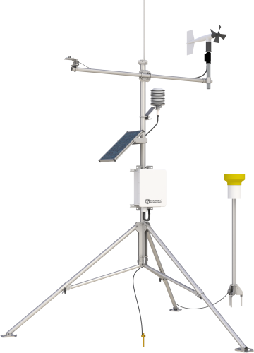
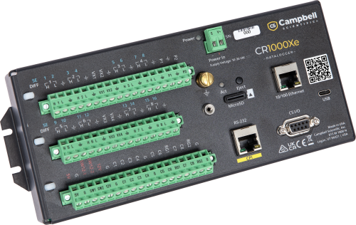
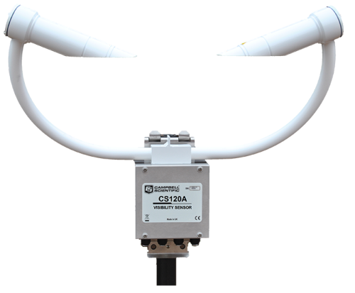
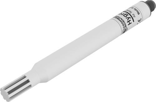
Typical systems include tower, RPU, two road sensors, and remote communication hardware, as well as sensors for the measurement of wind speed and direction, air temperature, humidity, barometric pressure, solar radiation, and precipitation.
Hardware
Lufft Intelligent Road Sensor
- Road temperature (with up to two additional subsurface temperature measurements, optional)
- Residual salt content and calculation of freezing temperature
- Road surface condition--dry, moist, wet, ice, snow
- Water film level
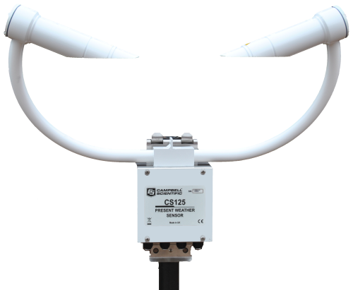
PWS100 Present Weather Sensor
- Identifies many precipitation types, including drizzle, rain, snow, hail, and graupel
- Designed for continuous, long-term, unattended operation in adverse conditions
- Compatible with most of our contemporary data loggers
Software
LoggerNet Datalogger (RPU) Support Software
LoggerNet is a full-featured software package based on a server application and several client applications. LoggerNet's open architecture allows a customer to directly modify RPU application programs or to develop new custom instruction sets entirely under customer control. LoggerNet collects and archives NTCIP data and camera images on demand or by schedule (including diagnostic information about the ESS hardware and software) at the ESS or remotely via a number of telemetry options. Telemetry options include land line, cell, LOS RF, and satellite. All collected data may be exported to second-party analysis packages. Retrieved data is owned by the customer and may be redistributed to other users with no obligation to CSI.
RTMCPro Real Time Monitor & Control Software
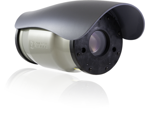
RTMCPro is used to create custom displays of real-time data and camera images. It provides digital, tabular, and graphical data display objects, as well as alarms. A customer can combine data from multiple ESS/RPUs on one display. Complex displays can be organized on multiple tabbed windows.
Road Aware™ is a base project file for use within RTMCPro, optimized for RWIS applications. It may be replicated or expanded under customer control to add a larger number of ESS stations to a network or to increase functionality and customization of data displays and display layout.
RTMC Web Server
RTMC Web Server converts real-time data displays into HTML files, allowing the displays to be shared via an internet browser.
Case Studies
In 2019, Campbell Scientific entered a public/private partnership project with the Alaska Department of Transportation......read more
Overview In 2020, due to the COVID-19 pandemic, the Formula 1 World Championship calendar was subject......read more
Overview DigiTrans GmbH has developed a vehicle test track where they can produce controlled rain events,......read more
The Ministry of Transportation Ontario (MTO) is responsible for monitoring and managing the province’s road......read more
The Utah Department of Transportation (UDOT) operates a network of roadside weather stations across the......read more
Korea Expressway Corporation (KEC) was established in 1969 to construct and manage expressways throughout South......read more
Networks using the ALERT protocol are designed to give immediate access to data that indicates......read more
The Channel Tunnel (or Chunnel) connects the United Kingdom with France. It is actually a......read more
Documents
Privacy Policy Update
We've updated our privacy policy. Learn More
Customise a System
In addition to our standard systems available, many of the systems we provide are customised. Tell us what you need, and we’ll help you configure a system that meets your exact needs.


